As tropical storm Rachel approaches LONG BEACH Long TT Beach You have to admit, the snow on the Rock
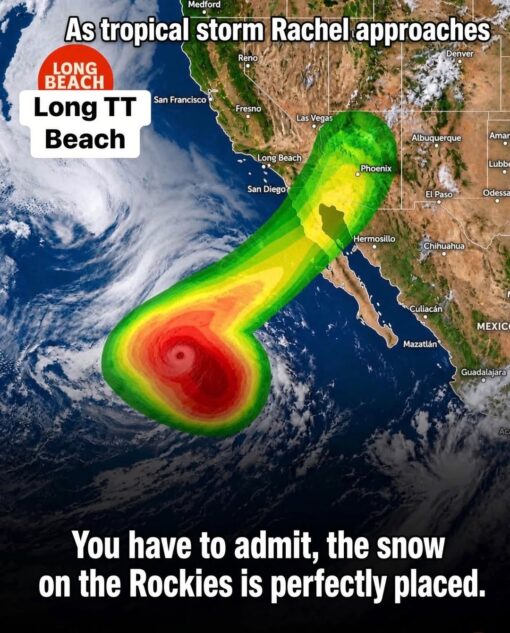
A satellite-style weather map of the western United States and Mexico shows a brightly colored storm forecast overlay stretching from the Pacific Ocean toward the Southwest. The green, yellow, orange, and red storm shape curves upward toward Arizona and Southern California in a way that is unmistakably suggestive, while city labels like Long Beach, San Diego, Phoenix, Las Vegas, and Denver anchor it in a real map setting.
Large white text at the top reads “As tropical storm Rachel approaches,” and a Long Beach label on the left is comically altered into “Long TT Beach.” At the bottom, the caption points out that “the snow on the Rockies is perfectly placed,” drawing attention to the white mountain snow near Colorado as part of the visual gag.