✕
✕
✕
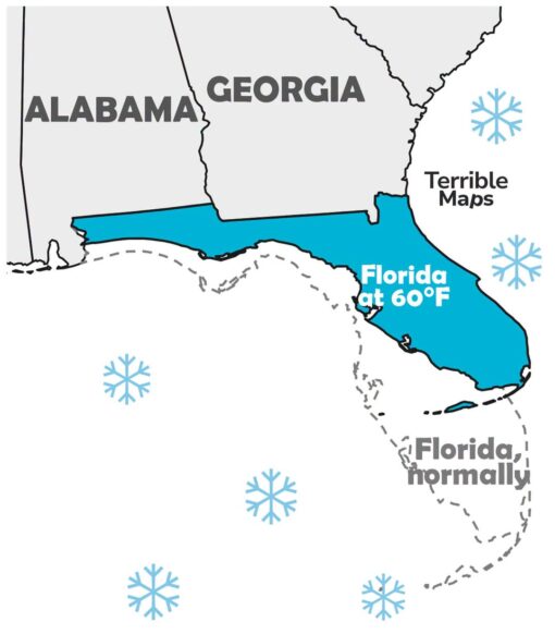
ALABAMA GEORGIA Terrible Maps Florida at 60°F Florida, normally
A simplified map of the southeastern United States shows Alabama and Georgia in gray, while Florida is highlighted in bright blue—but shifted northwest so that it stretches along the Gulf Coast under Alabama and Georgia. A dashed outline of “Florida, normally” appears farther southeast in its usual peninsula shape, suggesting the state has physically moved away from its regular warm-weather position.
Several blue snowflake icons float around the map, reinforcing the idea of cold weather. The label “Florida at 60°F” sits on the displaced Florida shape, while “Terrible Maps” appears nearby like a faux map-brand watermark.
Votes: 0
Pop: 0
TopU Score: 0
✕ TopU: 0

✕
1
2
3
4
5
6
7
8
9
10
All Time Rank
#10
All Time Rank
#9
All Time Rank
#8
All Time Rank
#7
All Time Rank
#6
All Time Rank
#5
All Time Rank
#4
All Time Rank
#3
All Time Rank
#2
All Time Rank
#1